
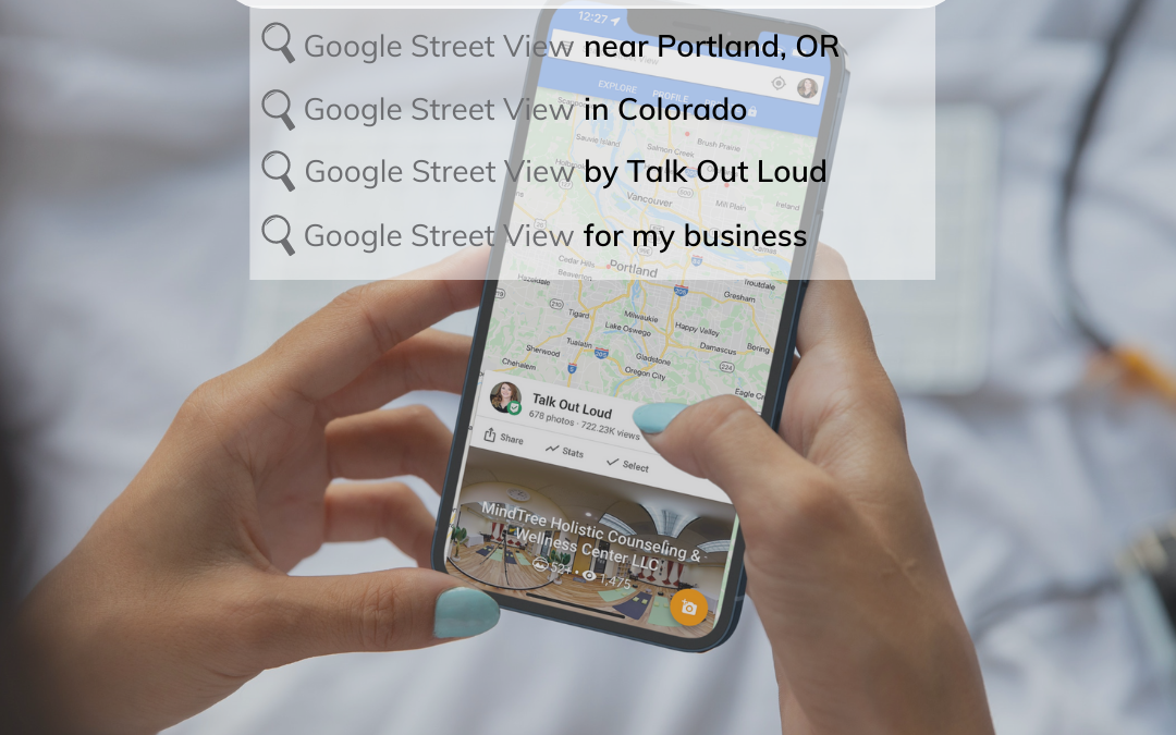
Google Maps Street View has been on an incredible journey since its inception in 2007. It all started with Larry Page, who had this crazy idea to build a 360-degree map of the entire world, and today we can explore over 220 billion images from 100 countries & territories on our phones or computers! What’s really amazing about Google Street View, though, isn’t just that it allows you virtually explore different places but also how critical these maps are for spatial intelligence – they will enable us to see information updates without distortion so that Google Maps will be more immersive than ever before.
Google’s New Camera
Today, Google is debuting a brand-new camera for Street View to give you more ways to explore historical imagery and take an even closer look at how their newest innovations are powering the future of Google Maps.
Street View cameras are getting smaller and more portable! The new ultra-transportable camera is roughly the size of a house cat. It can be taken on remote islands, up mountains, or even just walks through your local town square.

The lightweight design means that this camera can be shipped anywhere, even to places with extremely remote areas. This is especially handy when working on projects throughout the world – like capturing imagery of traditionally under-mapped regions like the Amazon jungle!
The system is extremely customizable. They no longer need to create an entirely new camera whenever they want different types of imagery, because it’s now possible for them to add components like lidar — laser scanners—which will provide more helpful details such as lane markings or potholes when needed; then remove them afterward without disrupting their workflow.
The new camera is an improvement on their existing fleet. This means that they can attach it to any car with a roof rack, operate it from mobile devices, and take pictures right away! The flexibility will make collections easier for partners all over the world – no need to worry about specialized vehicles or complicated processing equipment needed before now.
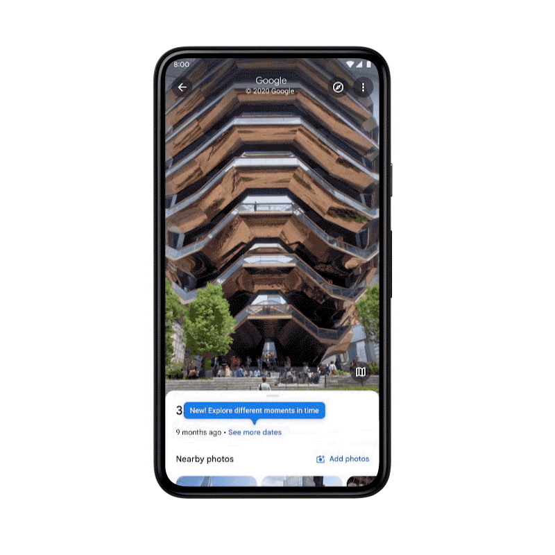
The Next Generation in Street View Experiences
Street View is all about capturing the world as it changes, and if you’ve ever wanted to travel back in time right from your phone, then today is an important day. With Google’s new “time travel” feature, smartphone users can explore historical photos from different points in history. Starting on Android & iOS globally (and others soon), anyone can easily access historical imagery that Google has published since 2007!
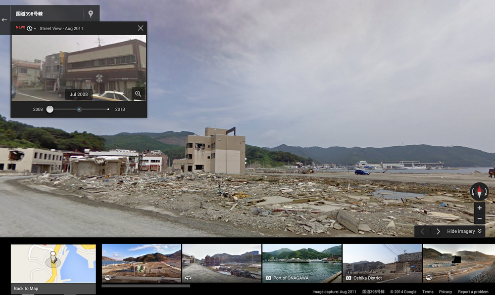
With Street View, you can see a landmark’s growth from the ground up and even experience different seasons. For example, in Onagawa, Japan, after the 2011 earthquake & tsunami destroyed much of what was there before, including buildings and homes within 3 miles around it… you’ll be able to travel back in time via this new feature!
Wishing you a happy birthday, Google! The new and improved viewing of this map service will change how we travel, work, or play every day – providing an immersive experience like no other. So please celebrate with us: let’s go on an adventure around town using only our imaginations (and maybe some Street View).